China launches own version of “Google Earth”
China launches Map World, a satellite mapping service like Google Earth.
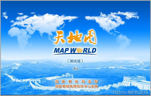
China’s State Bureau of Surveying and Mapping has recently launched their long-anticipated online alternative mapping service, "Map World”. Its homepage features an expansive view of the Great Wall of China, capped by clouds in the shape of the continents. If you are curious to know how the site would look like, you can access it here, although it’s in Chinese, but the controls are intuitive enough.
After the recent cloning of Apple IPhone, China decided to copy the online mapping service offered by Google. This is the outcome of conflicts that occur between Google and China since last year, when a serious hacking attack originating from China prompted Google to shut down the search service in the country.
In response to Google’s decision, China has also blocked access to various services offered by Google and now, it seems, launching its own version mapping service similar to Google Earth may further complicate relations with the Internet giant.
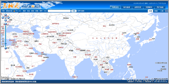
The "Map World" offers high-resolution images of Central Beijing, which was taken on 1st October 2009, during the National Day Parade of China.
Map World only provides high-altitude images outside China, with the other side of the Chinese-North Korean border a stark white blank once a certain resolution is passed. Other countries also turn up a blank page at higher resolution.
Taiwan, considered a traitor by China has only low resolution images.
The homepage of Map World is accessible at http://www.tianditu.cn or http://www.chinaonmap.cn, so if you are proficient in Chinese linguistics and tired of Google Earth, then give “Map World” a try.


